ISO 7010:2019 / ISO 3864-1
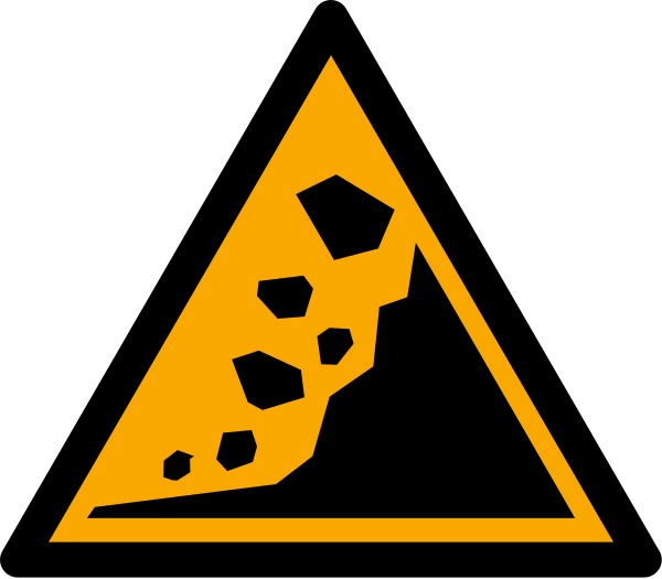
ISO W078 Landslide zone Sign
ISO W078 Landslide zone Sign means the W078 triangle warns of landslides and unstable slopes — ground that can slip, slump, or collapse and carry soil, rock, and structures downhill — part of the natural-hazard zone series added to ISO 7010 for geologically surveyed hazard areas. It should be used where the cited standard, facility risk assessment, SDS, emergency plan, or written safety procedure requires this hazard or safety message to be communicated.
High-Res Viewer
Reference artwork: Wikimedia Commons · License: CC0

Technical Data
| Legal Standard | ISO 7010:2019 / ISO 3864-1 |
|---|---|
| Color Codes | #FFCC00 / RAL 1003 Signal Yellow |
| Viewing Distance | 50 mm: close equipment or package label; 100 mm: approximately 5 m; 200 mm: approximately 10 m; 300 mm: approximately 15 m; 400 mm: approximately 20 m. |
| Review Status | approved / last reviewed 2026-07-07 |
| Jurisdiction Scope | Global, United States, European Union |
| Keywords | w078, iso 7010, warning, landslide, zone, warn, unstable, slopes |
Standard Dimensions Table
| Sign Size | Recommended Visibility |
|---|---|
50 mm | close equipment or package label |
100 mm | approximately 5 m |
200 mm | approximately 10 m |
300 mm | approximately 15 m |
400 mm | approximately 20 m. |
Where This Sign Is Used
Municipalities and road, rail, and park administrations post it at the base and crown of suspect slopes, on trails traversing them, at roadside cuttings, and near dwellings or facilities within a mapped runout area. It is designed to work as one node in an evacuation chain that ends at marked escape paths and the E065 refuge symbol.
In-Depth Guidance
The W078 Landslide Zone Warning
W078 warns of landslides and unstable slopes — ground that can slip, slump, or collapse and carry soil, rock, and structures downhill. It entered ISO 7010 with the amendment-era natural-hazard zone series, giving slope hazards the same internationally readable pictogram treatment that Japanese standardization work and the ISO 22578 guidance-system framework first established for tsunamis.
Distinguish W078 from its two closest relatives. W076 covers debris flows, the fluid, channelized surges that race down steep torrents; W078 covers the slower-to-trigger but equally destructive failure of slopes themselves, from rockfall-prone cuttings to deep-seated slides that can move whole hillsides. Both are sediment disasters, but they call for different placement and different escape behavior.
Where Unstable Slopes Get Signed
Slope-hazard designation is a geological exercise: surveys identify areas with steep gradients, weak or weathered material, groundwater pressure, past failure scars, or tension cracks, and classify them into hazard zones. Municipalities and road, rail, and park administrations then post W078 at the exposed locations — the base and crown of suspect slopes, trails traversing them, roadside cuttings, and dwellings or facilities within a mapped runout area.
Triggers cluster around water and shaking. Prolonged or intense rainfall saturates slopes, snowmelt does the same in spring, and earthquakes can release failures that rain alone never would. Slopes disturbed by construction, deforestation, or recent wildfire lose strength as well, which is why signed zones sometimes appear on hillsides that looked stable for decades before the ground conditions changed.
Living With and Reading the Sign
In a marked zone, the actionable knowledge is early-warning cues and timing. Ground that is about to fail often announces itself: new cracks in soil, roads, or walls, doors and windows that begin to jam, tilting poles and trees, bulging ground at a slope's base, springs appearing where none existed, and faint rumbling or the sound of cracking roots. During heavy rain, treat such cues in a signed zone as reason to leave immediately, moving sideways out of the potential slide path.
As elsewhere in this sign family, W078 is meant to be one node in a chain that ends at a green safe-condition sign — evacuation paths marked on the ground and the E065 refuge symbol at their destination. For residents, the sign should also prompt engagement with municipal hazard maps and rainfall-based evacuation advisories, which in landslide-prone countries are the primary trigger for leaving before slopes fail.
Frequently Asked Questions
What does the ISO W078 landslide sign warn about?
It warns that the slope or hillside area is assessed as capable of failing — sliding, slumping, or shedding rock — especially during heavy rain, snowmelt, or earthquakes. It marks mapped exposure rather than an imminent collapse, and it should prompt you to learn the warning signs of slope movement and the routes out of the runout area.
How is a landslide zone different from a debris flow zone?
A landslide zone (W078) is about the slope itself giving way, anywhere on or below unstable ground. A debris flow zone (W076) is about water-charged surges of mud and boulders confined to steep channels and the fans below them. The signs are separate in ISO 7010 because the terrain, triggers, and escape directions differ.
What are the warning signs that a landslide is about to happen?
Common precursors include fresh cracks in the ground or structures, doors and windows suddenly sticking, leaning trees or utility poles, bulges at the foot of a slope, new springs or muddy seepage, and unusual rumbling or cracking sounds. In a signed landslide zone during intense rain, any of these justifies immediate evacuation to the side of the danger area.
Who installs landslide zone warning signs?
Usually the authorities that manage the exposed land or infrastructure: municipal disaster-prevention offices, road and railway administrations, and park or trail managers, guided by geological hazard surveys. ISO 7010 supplies the standardized symbol; the decision to designate and sign a slope rests with local hazard-mapping programs.