ISO 7010:2019 / ISO 3864-1
ISO W076 Debris flow zone Sign
ISO W076 Debris flow zone Sign means the presence of a zone where large debris flows or flash flooding can occur — fast-moving surges of water, mud, boulders, and vegetation down steep channels during or after intense rain. ISO 7010 W076 belongs to the natural-hazard series rooted in Japanese sediment-disaster signage practice. It should be used where the cited standard, facility risk assessment, SDS, emergency plan, or written safety procedure requires this hazard or safety message to be communicated.
High-Res Viewer
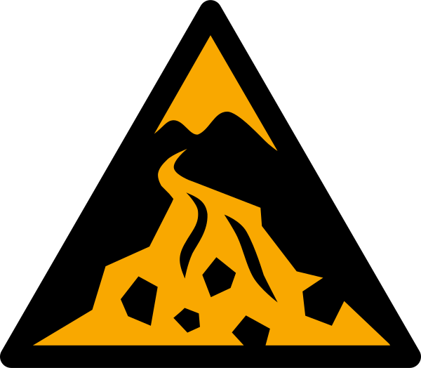
Reference artwork: Wikimedia Commons · License: CC0

Technical Data
| Legal Standard | ISO 7010:2019 / ISO 3864-1 |
|---|---|
| Color Codes | #FFCC00 / RAL 1003 Signal Yellow |
| Viewing Distance | 50 mm: close equipment or package label; 100 mm: approximately 5 m; 200 mm: approximately 10 m; 300 mm: approximately 15 m; 400 mm: approximately 20 m. |
| Review Status | approved / last reviewed 2026-07-07 |
| Jurisdiction Scope | Global, United States, European Union |
| Keywords | w076, iso 7010, warning, debris, flow, zone, warn, where, large |
Standard Dimensions Table
| Sign Size | Recommended Visibility |
|---|---|
50 mm | close equipment or package label |
100 mm | approximately 5 m |
200 mm | approximately 10 m |
300 mm | approximately 15 m |
400 mm | approximately 20 m. |
Where This Sign Is Used
Authorities post it where mapped torrents cross places people use: canyon trails, stream-side campsites, road crossings, and settlements on alluvial fans at canyon mouths, with channels below recent wildfire burn scars a classic trigger setting. Volcanic lahar paths and glacial outburst channels take the same sign, and the most effective installations pair it with marked lateral escape routes and E065 refuge signage, since escape from a debris flow means climbing the valley side perpendicular to the channel.
In-Depth Guidance
Understanding the W076 Debris Flow Warning
W076 identifies a zone where large debris flows or flash flooding can occur — the ISO register wording covers both, because the two hazards share the same trigger and the same terrain. A debris flow is a fast-moving slurry of water, mud, boulders, and vegetation that surges down steep channels during or after intense rainfall, capable of destroying buildings and burying roads in minutes.
The symbol joined ISO 7010 through the amendments that added the natural-hazard zone series, an effort with roots in Japan's disaster-signage work and the ISO 22578 framework. Japan's long practice of designating sediment-disaster-prone streams and building sabo check dams made a pictographic debris-flow warning an obvious candidate for international adoption, since the hazard threatens hikers and residents who may have no local-language literacy.
Terrain That Earns This Sign
Debris-flow zones are identified by geomorphology, not guesswork: steep mountain torrents with loose sediment supply, alluvial fans at canyon mouths where past flows have deposited material, and channels below recently burned slopes. Wildfire burn scars are a classic trigger setting, because fire strips vegetation and makes soil water-repellent, so even moderate rain in the first seasons after a burn can mobilize destructive flows.
Volcanic regions add their own variant, the lahar, and glaciated valleys add outburst-flood channels. Authorities responsible for sediment-hazard mapping — geological surveys, watershed management agencies, and municipalities — translate these assessments into signed zones, so W076 tends to appear where a mapped torrent crosses places people use: canyon trails, stream-side campsites, road crossings, and settlements built on fans.
Behavior the Sign Is Asking For
Debris flows allow almost no reaction time once moving, so the protective behavior is anticipatory. In a marked zone, do not camp or park in the channel or on low terraces beside it, be ready to abandon the streambed when heavy rain falls anywhere upstream — even under blue sky at your location — and treat a sudden rumble, a rising roar, or a stream that abruptly muddies or drops as a signal to climb immediately.
Escape from a debris flow is perpendicular: gain height on the valley side, at right angles to the channel, rather than trying to outrun the flow downstream. This is the single most important instruction associated with the sign, and community drills in sediment-hazard regions rehearse exactly this lateral evacuation. Flows also arrive in pulses, so a first surge passing does not mean the channel is safe to re-enter.
W076 Among Related ISO Signs
Within the natural-hazard family, W076 sits between W077, which covers riverine and inland flooding of flatter ground, and W078, which covers landslides and unstable slopes. The distinctions matter for choosing the right sign: a floodplain gets W077, a slow-failing hillside gets W078, and a steep torrent capable of launching a boulder-laden surge gets W076. Mixed terrain sometimes warrants more than one, since a saturated slope failure can feed material directly into a debris-flow channel below it.
As with the rest of the series, the warning is designed to work with green guidance signage. Marked lateral escape routes and the E065 natural disaster refuge symbol complete the message, mirroring how coastal tsunami zones pair the tsunami hazard warning with the E062 evacuation area and E063 evacuation building signs. An isolated W076 informs; a W076 connected to a signed route protects.
Frequently Asked Questions
What is a debris flow and how is it different from a flood?
A debris flow is a dense, fast surge of mud, rock, and water moving down a steep channel, with far more destructive force than clear-water flooding of the same depth. Floods inundate; debris flows batter and bury. ISO 7010 separates them: W077 marks flood zones on low ground, while W076 marks steep channels and fans where debris flows or flash floods can strike.
Why are debris flow signs posted after wildfires?
Burned slopes lose the vegetation that anchors soil and can become water-repellent, so rainfall runs off almost instantly and picks up ash, soil, and rock. Channels below fresh burn scars can produce dangerous flows from rainstorms that would previously have been harmless, which is why authorities often sign these areas for several years after a fire.
What should I do if I am hiking in a marked debris flow zone?
Stay out of the channel during and after heavy rain, including rain falling upstream that you cannot see. Avoid camping on the streambed or low banks. If you hear a growing rumble or the stream suddenly turns muddy or drops, move immediately up the valley side, perpendicular to the channel — do not try to outrun the flow along it.
Who decides where W076 signs are installed?
Placement follows sediment-hazard mapping by geological surveys, watershed agencies, and municipal disaster-prevention offices, which identify torrents, alluvial fans, and post-fire drainages capable of producing flows. ISO 7010 standardizes the pictogram so those locally mapped zones are recognizable to visitors regardless of language.